Things to do on Koh Larn
Build the day from what can be planned responsibly: a beach setting, the water decision, island orientation, useful light and enough return margin.

The strongest evidence-backed Koh Larn plans are a beach day, swimming inside a suitable marked zone, condition-dependent snorkeling, island orientation, sunrise or sunset planning, and a ferry-bounded half- or full-day itinerary. Current operator-dependent activities need a named provider and written terms before they belong in the plan.
- Released beaches
- 7 guides
- Water guides
- Swimming · snorkeling
- Dry options
- Map · sun · itinerary
- Operator offers
- Verify before paying
Choose the boundary before the activity
- Protect the return Set the ferry boundary
Choose an outward and return sailing, then leave margin for island transfers and travel-day changes.
Check the crossing - Choose one anchor Pick a beach or arrival area
Start from the supported place and arrival context instead of adding unrelated stops across the island.
Compare beach records - Check the day Match the activity to conditions
Use the current marine forecast, marked zones and local warnings before entering the water or paying a provider.
Open current checks
Keep in mind: A listed guide is planning context. It is not proof that a zone, provider or activity is operating now.
What kind of island day do you want?
These routes lead to maintained decision pages, not a random list of attractions.
Marked zones, warnings, boat traffic and jellyfish protocol.
Open guide →Look below the surfaceSnorkeling decision guideVisibility, shore-versus-organized choices and a clear stop checklist.
Open guide →Choose the settingCompare seven beachesIsland side, arrival context and map confidence without a universal score.
Open guide →Keep the day dryUse the island mapPiers, supported pins, ferry routes and withheld-coordinate explanations.
Open guide →Plan the lightSunrise and sunsetDate-specific calculations and a return-ferry reality check.
Open guide →Give the day a shapeHalf or full dayTimetable-bounded plans with one main beach and protected return margin.
Open guide →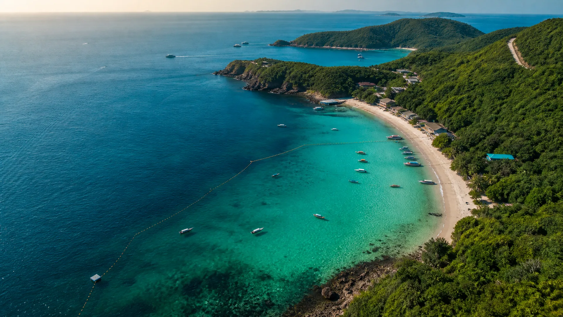
01 · In & on the water
In & on the water
Swimming context, operator questions and safety before you pay.
What is ready to plan—and what still needs a provider
Scroll horizontally to compare every activity state →
| Activity | Publication state | What this guide establishes | What you still verify |
|---|---|---|---|
| Swimming | Released guide | A decision method for marked zones, flags, boat traffic and current conditions. | The actual open zone and water on the day. |
| Snorkeling | Released guide | A shore-versus-organized framework and marine-conduct rules. | Visibility, current, entry, traffic, equipment and any named provider. |
| Beach visit | Seven released records | Supported place, island-side and ferry-arrival context. | Current access, facilities, atmosphere and swimming conditions. |
| Sunrise or sunset planning | Calculated tool | Astronomical times for the published Koh Larn coordinate. | Weather, visible horizon and a feasible return sailing. |
| Operator water sport | Not released as current | No named operator, price or availability is endorsed. | Provider, licence, permitted zone, exact terms, equipment and insurance. |
| Viewpoint or landmark route | Not released as a route | The island is mostly mountainous. | Exact place, road, access, surface, closure and return route. |
Why some activity pages are held
Prices, operator licences, permitted zones, equipment and availability change. Operator-dependent routes remain accessible at their old URLs but are noindex and absent from this discovery hub until a current primary or field record supports them.