Start at the pier
Know where your boat lands before adding a transfer across the island.
Seven beach guides, from ferry-linked Tawaen to the west coast. Compare locations, arrival options and what to check before you go.
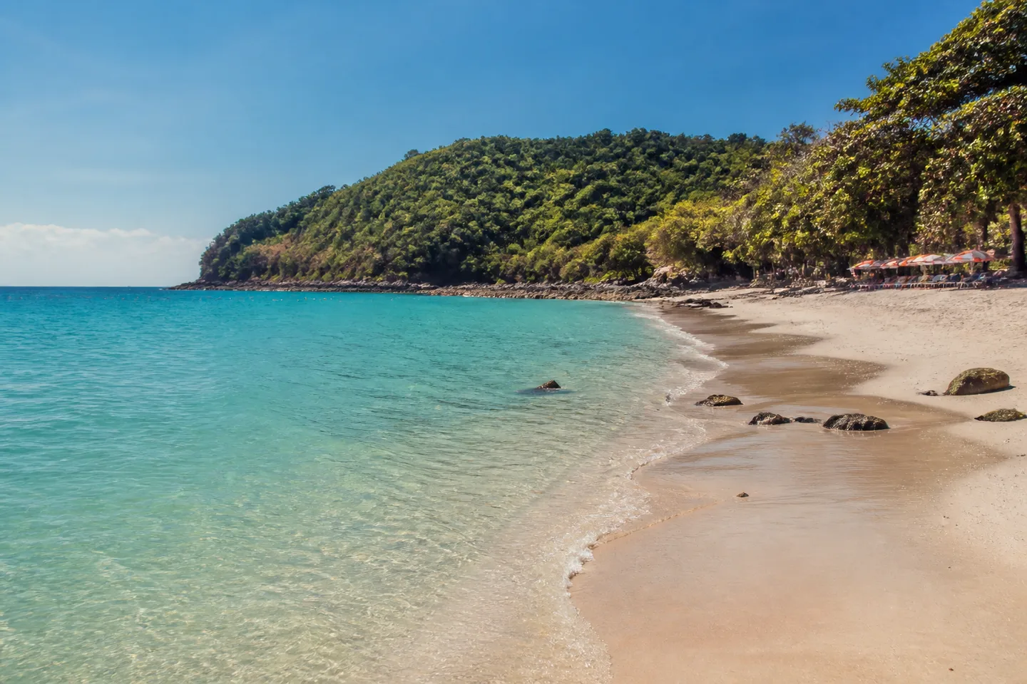
Start with where your boat lands, then decide whether to stay nearby or arrange a transfer. The full directory below covers all seven beaches.
The operator timetable checked on 23 August 2026 lists a Bali Hai–Tawaen route.
Open beach guide →Next to TawaenSangwan BeachMunicipal geography places Sangwan directly beside Tawaen; its exact pin remains held.
Open beach guide →At the end of TawaenThong Lang BeachMunicipal geography places Thong Lang at the end of Tawaen; its exact pin and current access remain held.
Open beach guide →Explore the west coastSamae BeachThe supported record establishes the west-coast setting while leaving current access, facilities and water to a travel-day check.
Open beach guide →Guides are listed alphabetically. Atmosphere and facilities can change with season and operating day; disputed place records and map pins remain held until verified.
Scroll horizontally to compare every evidence field →
| Beach | Supported setting | Municipal length | Arrival context | Pin status | Still unresolved |
|---|---|---|---|---|---|
| Nual Beach (Monkey Beach) | South side of Koh Larn | Approximately 250 metres | Municipal Na Baan–Nual route reference; current local operation and fare unverified | Approximate orientation pin | Current transfer, wildlife presence, facilities and exact access |
| Samae Beach | West side of Koh Larn | Approximately 350 metres | Municipal Na Baan–Samae/Tien route reference; current local operation and fare unverified | Approximate orientation pin | Current transfer, exact access, facilities and water conditions |
| Sangwan Beach | Directly beside Tawaen Beach | Approximately 150 metres | Use Tawaen as the ferry-arrival anchor; current pedestrian connection unverified | Exact pin withheld | Current pedestrian connection, step-free suitability and facilities |
| Ta Yai Beach | North side of Koh Larn | Not stated in the released evidence | No released local transfer or walking route; confirm the complete route after landing | Approximate orientation pin | Exact access, walking suitability, local transport and facilities |
| Tawaen Beach | North-east side of Koh Larn | Approximately 750 metres | Direct Bali Hai–Tawaen public-ferry route appears in the checked operator timetable | Approximate orientation pin | Travel-day ferry operation, local access, facilities and water conditions |
| Thong Lang Beach | At the Tawaen end of the coast | Not stated in the released evidence | Use Tawaen as the arrival context; current connection and public access unverified | Exact pin withheld | Current access, safe entry, facilities and visibility |
| Tien Beach | South-west side of Koh Larn | Approximately 500 metres | Municipal Na Baan–Samae/Tien route reference; current local operation and fare unverified | Approximate orientation pin | Current transfer, final approach, facilities and water conditions |
The matrix compares evidence status—not water quality, crowd level or a permanent “best beach.” Current conditions still belong to the travel day.
AI-created editorial illustration · symbolic island scene, not Koh Larn’s mapped shape, a live view or a beach-condition record
Know where your boat lands before adding a transfer across the island.
Food, toilets, shade and shops may matter more than solitude for your group.
Do not turn a quiet remote beach into a stressful race back to the pier.
Na Baan is an east-side village and a scheduled public-ferry arrival point — not a swimming-beach profile. Current businesses, services, accessibility and payment facilities were not verified for this release.