Koh Larn · Beside the Tawaen-side coast
Thong Lang Beach
หาดทองหลาง
Pattaya City places Thong Lang at the Tawaen end of the coast and mentions shallow coral in its municipal description. That dated geography is not evidence of current access, visibility, wildlife or a permitted snorkeling route.
Select Compare to start a side-by-side view.
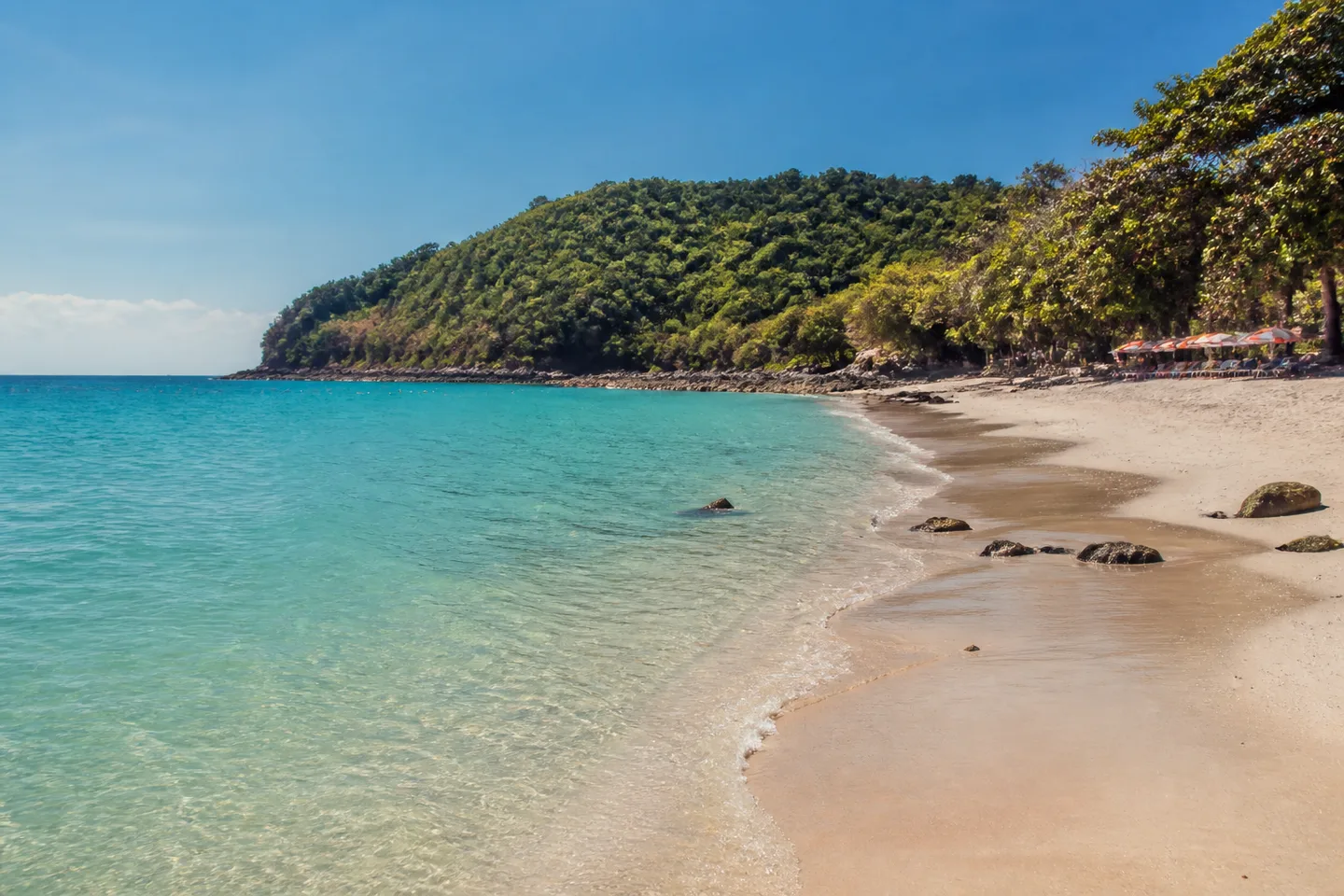
- Setting
- At the Tawaen end of the coast
- Municipal record
- Not stated in the released evidence
- Arrival context
- Use Tawaen as the arrival context; current connection and public access unverified
- Map status
- Exact pin withheld
Beach overview
Thong Lang belongs to the Tawaen-side coast
The municipal description corrects older north-west directions and connects Thong Lang with the end of Tawaen.
DMCR also surveyed coral-larval settlement bases placed at Thong Lang in 2025 and recorded settlement by coral and associated organisms on 4 March 2026. That dated restoration record is not a live snorkeling recommendation.
Direct answers
Quick planning answers for Thong Lang Beach
Where is Thong Lang Beach?
Pattaya City places Thong Lang at the Tawaen end of the coast. The released guide no longer uses older north-west directions.
Is Thong Lang a verified snorkeling spot?
No current snorkeling recommendation is made. Pattaya City mentions shallow coral, but that does not establish today’s visibility, safe entry, permitted route or wildlife.
Why is there no exact Thong Lang pin?
The former coordinate did not meet the publication’s geography threshold. The Tawaen-side relationship is published while the exact pin remains withheld.
What did DMCR record at Thong Lang in March 2026?
On 4 March 2026, DMCR surveyed coral-larval settlement bases placed there in 2025 and recorded settlement by coral and associated organisms. The record does not establish current public access, snorkeling conditions or overall reef health.
Route and decision
Use Tawaen as context, then establish access
A direct Tawaen ferry route appears in the schedule checked on 23 August 2026. The current connection from Tawaen, public access and permitted entry point still require a local check.
DMCR visitor rules prohibit touching or standing on coral, feeding marine life and littering. Visibility, wildlife and a safe or permitted route are not promised.
The former pin failed the publication’s geography check. Use the Tawaen-side relationship rather than an unverified exact coordinate.
The former pin failed the publication’s geography check. Use the Tawaen-side relationship rather than an unverified exact coordinate.
Evidence boundary
What the coral reference cannot answer
It does not establish today’s visibility, wildlife, current, safe entry, operator permission, facilities or public access.