Koh Larn · Beside Tawaen Beach
Sangwan Beach
หาดสังวาลย์
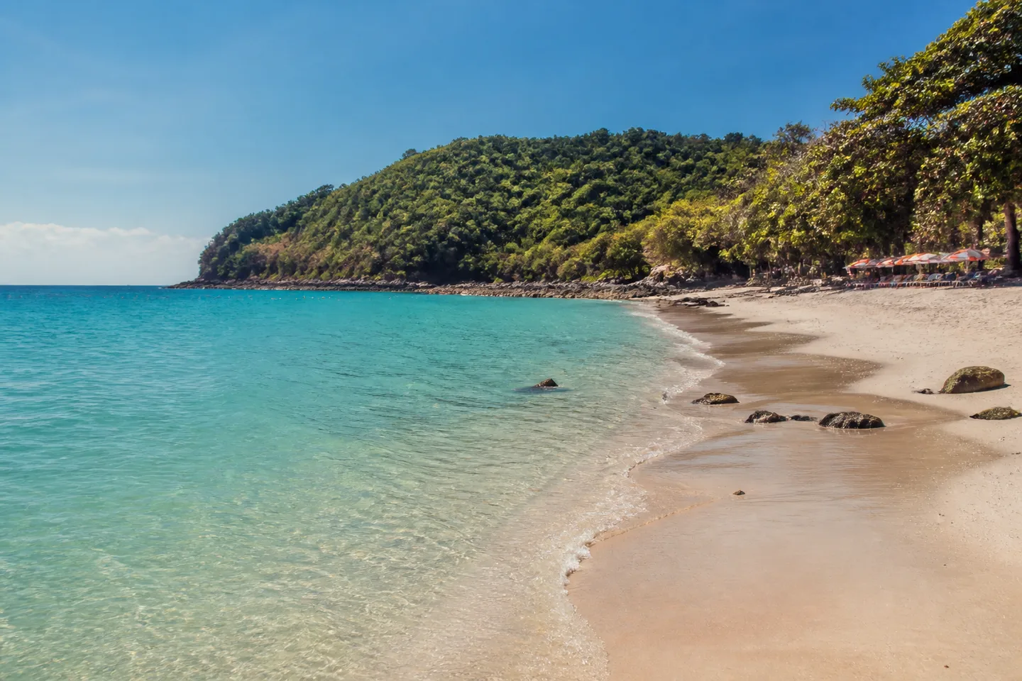
Pattaya City places Sangwan directly beside Tawaen and records it at approximately 150 metres. Use Tawaen as the arrival anchor; the exact pin and current pedestrian connection remain withheld.
Select Compare to start a side-by-side view.
- Setting
- Directly beside Tawaen Beach
- Municipal record
- Approximately 150 metres
- Arrival context
- Use Tawaen as the ferry-arrival anchor; current pedestrian connection unverified
- Map status
- Exact pin withheld
Beach overview
Sangwan is beside Tawaen
This corrected geography is the page’s key fact. Older guidance that treated Sangwan as a remote cross-island destination is no longer used.
The municipal briefing describes a small beach of approximately 150 metres directly beside Tawaen. A separate DMCR station record documents a visual coral survey at Ao Sangwan on 14 May 2026.
Direct answers
Quick planning answers for Sangwan Beach
Is Sangwan Beach beside Tawaen?
Yes. Pattaya City’s municipal briefing places the approximately 150-metre Sangwan Beach directly beside Tawaen.
Can you walk from Tawaen to Sangwan?
Adjacency alone does not prove that the current pedestrian connection is open, suitable or step-free. Verify the route in the Tawaen arrival area before relying on it.
Does the public ferry go directly to Sangwan?
The checked operator timetable names Tawaen, not Sangwan, as the direct beach-side ferry destination. Use Tawaen as the arrival anchor and verify the final connection.
Did DMCR record coral bleaching at Sangwan in May 2026?
DMCR station TB2026050000817 classified less than 1% bleaching / “no bleaching found” in a visual survey at Ao Sangwan on 14 May 2026. That dated station observation does not establish current reef health, visibility, access or swimming safety.
- 01Bali Hai Pier A
Choose a departure explicitly shown or called for Tawaen.
- 02Tawaen arrival
Treat Tawaen as the supported ferry and geography anchor.
- 03Verify the connection
Check that the current pedestrian route is open and suitable for your group.
- 04Sangwan Beach
Continue only after the final route and return margin are clear.
Relationship diagram, not a walking map: the sequence explains the supported place relationship without drawing an unverified exact line or pin.
Route and decision
Anchor the plan to Tawaen
The operator timetable checked on 23 August 2026 includes a direct Tawaen route. From that arrival area, establish whether the pedestrian connection to Sangwan is open and suitable before relying on it.
DMCR station TB2026050000817 classified less than 1% bleaching / “no bleaching found” in its 14 May 2026 visual survey. That is a dated station observation—not current reef health, visibility, access or swimming safety.
The previous coordinate did not meet the current evidence threshold. The publication withholds it instead of publishing false precision.
The previous coordinate did not meet the current evidence threshold. The publication withholds it instead of publishing false precision.
Evidence boundary
Adjacent does not prove accessible
The supported geography does not establish an open walkway, step-free route, facilities, water conditions or operating services.