Koh Larn · South coast
Nual Beach (Monkey Beach)
หาดนวล
Pattaya City records Nual on Koh Larn’s south side at approximately 250 metres. The visitor label “Monkey Beach” identifies the place in some material; it is not evidence that macaques will be present.
Select Compare to start a side-by-side view.
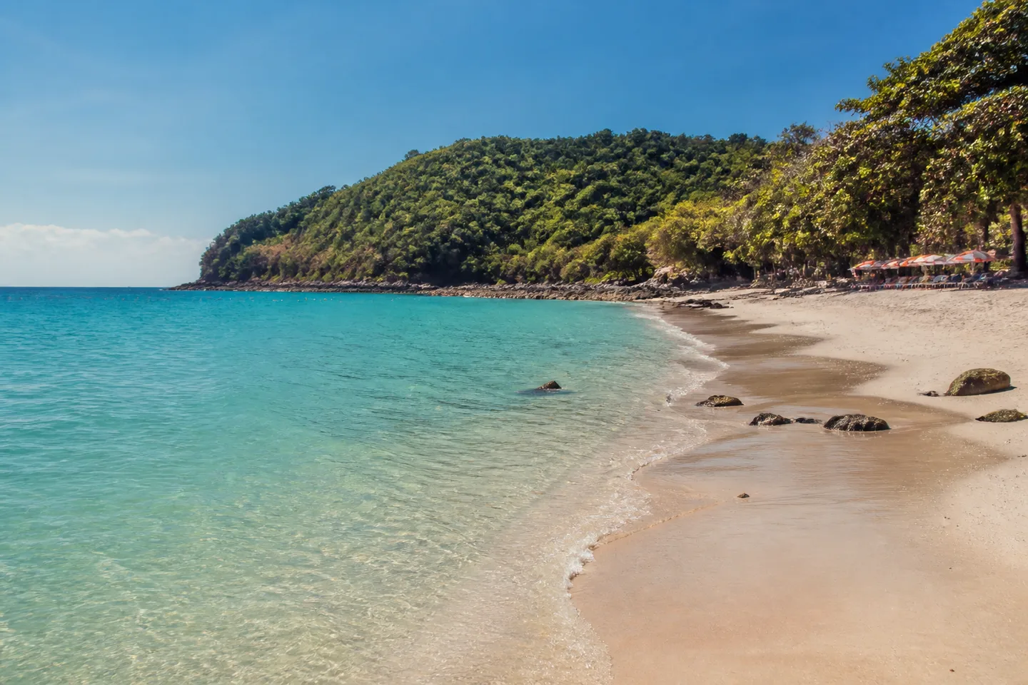
- Setting
- South side of Koh Larn
- Municipal record
- Approximately 250 metres
- Arrival context
- Municipal Na Baan–Nual route reference; current local operation and fare unverified
- Map status
- Approximate orientation pin
Beach overview
Nual in the municipal record
The 2024 Pattaya City briefing establishes the south-side location, approximate length and a route reference from Na Baan toward Nual.
The municipal record does not establish wildlife activity, an encounter, current facilities or a particular atmosphere.
Direct answers
Quick planning answers for Nual Beach (Monkey Beach)
Where is Nual Beach on Koh Larn?
Pattaya City places Nual on the south side of Koh Larn and records it at approximately 250 metres.
Does “Monkey Beach” guarantee a monkey sighting?
No. “Monkey Beach” is used as an alternate visitor label for Nual; the municipal record does not establish that macaques will be present.
Does the public ferry go directly to Nual Beach?
The checked operator timetable names Na Baan and Tawaen as ferry destinations, not Nual. Pattaya City records a Na Baan–Nual local-route reference, whose current operation and fare need confirmation.
Route and decision
Plan Nual without relying on the nickname
Use a posted ferry crossing, then confirm whether the Na Baan–Nual route is operating, where it boards, the full fare and the exact drop-off.
Treat the English visitor label as an alternate place name, not a wildlife forecast or reason to approach or feed an animal.
The pin places Nual on the south side. It does not establish the entrance, transfer stop, surface, steps or accessibility.
Orientation pin only — use the route guidance beside the map.
Evidence boundary
What to establish when you arrive
Confirm the local transfer, access, open facilities, warning flags, marked swimming area and any accessibility needs from current conditions.